19 January 2021

Adamsons Falls And Creekton Falls Loop Hike

Nearest Town is Hastings in the south side of Tasmania.
Access via C635 and Chestermans Road
There was a signpost at the car park.
The 3.3km Adamsons Falls Track was easy to follow and it took about 1 1/4 hours to reach Adamsons Falls.

GPS track of Adamsons and Creekton Falls Circuit Walk

Adamsons Falls

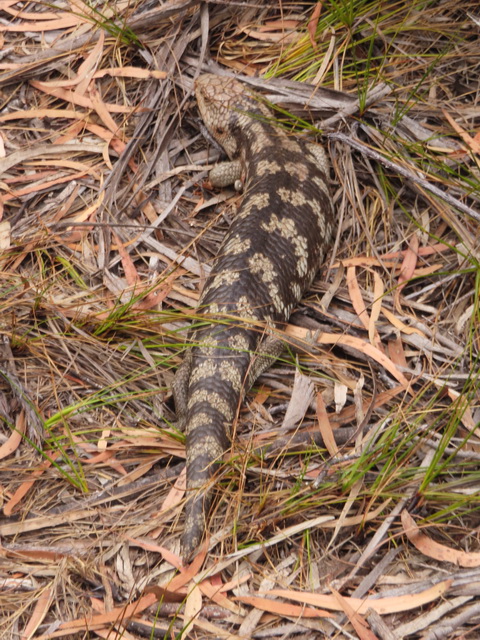
At Adamsons Falls, an experienced and well-prepared hiker would be able to find the access to Creekton Falls. One or two pink ribbons was/were tied to trees marking the start.  The section between Adamsons Falls and Creekton Falls is less than 2km.  But, it was a slow going due to dense forest and fallen trees. Route findings and some navigation skills were required. It took about 2 hrs to arrive at Creekton Falls from Adamsons Falls.


Creekton Falls

Creekton Falls is on Creekton Rivulet.  To walk out, we followed the pad along the rivulet down about 0.5km. There were markers and pink ribbons that helped guide us through the thick forest and down Duckhole Lake Track. Two lyrebirds were spot on near the end of an easy 2.1 km stroll out to the road. Then, it is about 3.5km road bash back to the start at Adamsons Falls car park. Total of 6 hours and 20 minutes (breaks not included) was spent to complete the 18.1km loop. Pack a head torch with you just in case.  I always leave one in my day pack.  

Ascent: 518m.  Descent: 685m

17 January 2021

Lake Petrarch

Access from Cynthia Bay via Cuvier Valley Track that was not maintained. Require route finding and navigation skills.

7/1/19: Start an overnight walk around Lake St Clair on the Cuvier Track to the west of My Olympus and Lake St Clair with an overnight camp at Lake Petrarch.


The GPS route and Cuvier Valley, Mt Byron, Byron Gap and Mt Olympus in 3D view

At the start, there was a signpost with caution of track not maintained and 

Narcissus Hut via Lake Petrarch 6-9 hours 


The pad marked with few orange markers & ribbons.


Did not climb Mt.Olympus as the start of the side track (ref. the pin on the map) could not be seen. In fact, we didn't try to look for it. Based on resource from previous doers, it's just after leaving the forest, about 700m to the lake.

8/1/19 Day Two

Mt Cuvier and Mt Byron


The section between Lake Petrarch and Byron Gap required route finding and compass skills even if Byron Gap could be seen from the valley. A scarf was found on the way and unsure if the owner had dropped it.


Cuvier Valley, Mt Byron and the pandani.

Missed our ferry connection from Narcissus Hut back to Cynthia Bay due to poor track condition and the new platform near the hut. Set up tent by the river instead.

9/1/19: Finally got ferry back from Narcissus Hut to Cynthia Bay at lunchtime. Pub meal to celebrate.

Views of Mountains of Jupiter and Mt Olumpus from Narcissus Bay

15 January 2021

Schouten Island

01/02/2019  Day 1
Water Taxi Trip to Island.  BYO water and bush camping (no toilet facilities).


Left Coles Bay, arrived at Crocketts Bay Campsite and set up tent.

Bear Hill from Crocketts Bay and Rangers Hut at Moreys Bay

Beach walked along Moreys Bay to Sandspit Point and return.  
Climbed Bear Hill, but did not make to the top (for safety reason).

Moreys Bay, Freycinet Peninsula and Bear Hill from the track.

Campsite in the evening. The sky put on a show. 
02/2/19 Day 2  Mt Storey Climb
Visitors and the local were happy for a pose.


Made to the summit this time. Some navigation required.
03/2/19 Day 3
Packed up camp and were taken back to Coles Bay.
Note: Check out for snake when going bush to dig a hole. One spotted on the hill by our neighbour.