Carisbrook Falls, Sabine Falls Walk
Beauchamp Falls, Hopetoun Falls,
and Sheoak Falls
The four waterfalls are accessible by car and short walking tracks with the exception of the Sabine Falls, which is about 2 hour return walk.

Carisbrook Falls


Beauchamp Falls


Hopetoun Falls


Track to Sabine Falls (L) Fungi seen on the way (R)


Sabin Falls
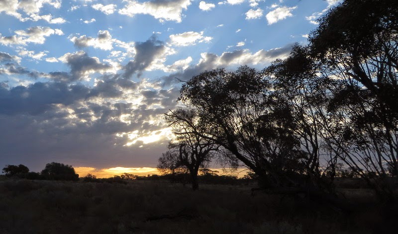
Last day


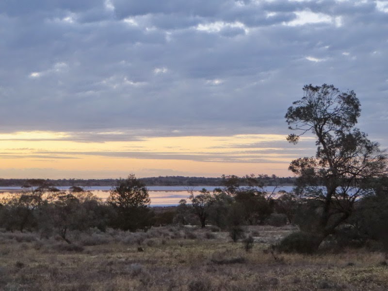
Breakie time (L). Ocean view from the tourist walk to Sheoak Falls (R)

Sheoak Falls
.. and finally, here is a short video of the visited falls - Otways Tour