
A short easy day walk/hike, a few kilometres northwest of Hotham Heights and a few kms east of The Razorback. See the Mt Feathertop Walk Map in the Mt Feathertop via The Razorback Walk blog.
Distance: 7 km. Return the same way.
Time: About 3 hrs including breaks and photography
Track: Vehicle track with signposts. The walking track is a Hotham 'Ski' Trail in Winter.
Start/End: Mt Loch Carpark next to a day shelter building on Great Alpine Rd - Mt Hotham,
1 km west of Mt Hotham Visitor Information Resort Management.
Also the start and end of Falls to Hotham Alpine Crossing (37 km, 3 day hike).

 Good views of the High Plains, Mt Hotham and the east face of Mt Feathertop from the walking track.

Mt Loch from Pole 60


Mt Hotham and Mt Feathertop from the gate near the Loch carpark.
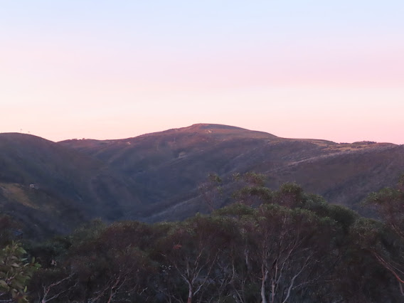
Such a magic light on Hotham from the setting sun. These photographs were taken from Great Alpine Road.


Looking south from Hotham Village Corral Carpark with an Information Board of locations, a Visitor Shelter for the local, travellers / hikers and skiers waiting for their shuttle bus. The wind and the chill did not bother me and it was well worth the effort of waiting for the glowing sunset over the ranges.

Golden magic light covered Dargo High Plains, Blue Rag Ranges, and more.

Had to be quick. My last opportunity to take photos of the sunset show with Mt Hotham and Mt Feathertop.What a day!
Dinner Plain snow village and Walking Tracks