Breakfast Creek - The Crinoline - Long Hill - and back
3rd-Mar-2014
(written by Allan)
This walk began as a 3 day plan to climb from Breakfast Creek, on
the Tamboritha Road, north of Licola, to the top of Mt Ligar (The Crinoline)
and then to do a ridge-following loop to Mt Tamboritha, via Long Hill and
then back to Breakfast Creek. The original plan was abandoned in the face
of low water, difficult terrain and warm weather, to become a two night stay on
the slopes of Mt Ligar.


The signpost & a warning sign at
the start on the Tamboritha Rd
Day 1 (22nd Feb 2014)
The climb to
Mt Ligar begins at the signposted track on Tamboritha Rd, just before it
crosses the Breakfast Creek and to the south of the Melbourne Grammar School
camp. This is at 37°31' S, 146°37' E (or H55 04 660 E 58 477 N in UTM
Grid on WGS84 from memory-map Interactive Topo). As well as the signpost,
there is a “warning” sign, pointing out the hazards of the “remote area” and
the fact that the climb involves an ascent of 800m (2500ft) to the peak of The
Crinoline.
The older Crinoline Track leaves the Breakfast Creek camp site and
goes north on the east side of Breakfast Creek and is reputed to be a killer
climb, straight up the south-side spur of Castle Hill and then across a ridge
to Mt Ligar. This path “straight to the top” is now deprecated, and the
Macmillan Walking Track is preferred.
The Macmillan Walking Track
starts with easy ups and downs, going NNW along the Breakfast Creek and then
west along the north side of an east-west running tributary of the Breakfast
Creek. This uses westerly-travelling, 1 in 10 zig-zags to ascend steadily
from the 330m at the start to 830m at the end of this section.


Breakfast Creek (left). Rest stop
on the steep zig-zag climb
The track then heads north again and rises steeply to about 900m
elevation. From here, the track diverts north from the Macmillan Walking
Track, past a “Smith St”sign, a campsite (the first official site) and a
rain-water barrel (as talking to others at the roadside camp though, the
consensus was that there was no water at the top). The barrel is at H55
04 641 E 58 492 N and it did have some rather murky green water in it.
Not very healthy-looking, so we decided to locate better water first.
The best possibility for water appeared to be a creek and waterfall to
the east of the “official” camp-sites, south of Long Hill and north of Mt
Ligar.


Crinoline & McMillans tks junction and another 200m NNE is the
rain-water barrel
The track then
climbs another 150m, with yet more zig-zags, up the side of a spur, through
rocky outcrops, open fields and light bush, to a height of 1050m at the end of
the southern spur of Mt Crinoline. This part of the track gives great
views of Mt. Sugarloaf.


Mt Sugarloaf (left). A foot pad
north to the zig-zag climb NNE

Good view of Mt Sugaloaf to the south
Note: some maps show there is a Macmillan
Walking Track from Breakfast Creek to Mt Sugarloaf and a Macmillan Track from
Mt Tamboritha to Breakfast Creek and an alternative Macmillan Track from the
Macmillan Walking Track to Mt Tamboritha via Mt Ligar (The Crinoline) and Long
Hill. All designed to totally confuse the walker (and possibly myself as
well). The signage we saw appears to show that the track from Breakfast
Creek to Mt Sugarloaf is the “official” Macmillan Walking Track now.
As we had started at 12.30pm, it was getting late by the time we
got to the top of this spur and so we cleared a campsite in the middle of the
track and settled in for the night.

Camping on the main spur to Mt Ligar
Day 2 (23rd Feb 2014)
The track continued along from our campsite, along a narrow and rocky ridge, with lots of rock-hopping, and climbing for about 15minutes to get to an "official" campsite at the south-side of The Crinoline (the 2nd official campsite).
The track continued along from our campsite, along a narrow and rocky ridge, with lots of rock-hopping, and climbing for about 15minutes to get to an "official" campsite at the south-side of The Crinoline (the 2nd official campsite).


Rock-hopping on the narrow & rocky
ridge

Heading for Mt Ligar

The plan to camp here had been missed!
We continued
on the foot-pad north (when we could find it), that traversed the west side of
The Crinoline, following one of the edges of the rock cliffs that give The
Crinoline its unique appearance. It is important to plan ahead here, to
pick a contour line across these cliffs so that you don’t get trapped by a
cliff-face or a steep creek gully. There is no clear, single track here,
but there are lots of similar pads across the west-side cliffs of The
Crinoline, that all achieve approximately the same outcome of a path to the
north spur.


The west-side cliff edges of Mt Ligar


Great Dividing Range
& Macalister State Forest to the northwest (right)
By the time we reached the north-end spur of the Crinoline, the weather
was getting warm and the terrain was getting very rocky, so we decided to ditch
the full packs at the unofficial campsite, at the base of the northern spur and
proceed to the “official” campsite on the south-side of Long Hill, with
day-packs only, loaded with water bottles.
The pad north from here is rocky and undulates about 20-50m vertically. The best plan is to just keep to the ridge and the pad, when you can find it. Cairns sometimes help to find the best way through. It is navigable but not for the beginner.
The pad north from here is rocky and undulates about 20-50m vertically. The best plan is to just keep to the ridge and the pad, when you can find it. Cairns sometimes help to find the best way through. It is navigable but not for the beginner.

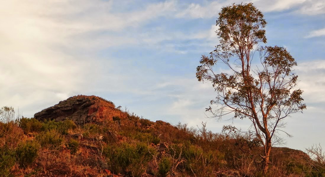
The Crinoline from Long Hill


The Crinoline from the lookout (left). The "official"
LHC campsite
When the “official” camps-sites were reached, we headed east, down an
indistinct pad to the waterfall supply creek and, hopefully, water.
No
such luck! The waterfall head creek was “as dry as.” An exploratory
dig into the creek-bed, down about 15 centimetres and a short wander up and
down the creek-bed, showed no sign of increasing moisture either.

Back with empty water bottles!



Conclusions:
The Crinoline ascent alone is a tough climb for a sixty year old in warm weather, with a full three day pack and lots of water. (6 kms horizontal and 800m vertical). Our original “plan” of 30 kms horizontal and 3000m vertical walking was way too ambitious for 3 days and even more unrealistic, because water is so scarce up there, at present.
I would suggest that other hikers are not too optimistic about their capabilities in this area, even if they have alternative plans. The rough rule of thumb that says to plan to walk only 8-12 km per day of full pack carrying and count every 100m climbed or descended as an extra kilometre walked. This rule works well for for older people of average ability. Fit youngsters and other super-persons may be able to do more, but their performance should not be used as a planning benchmark.
There are little or no significant sources of fresh stream water in the Victorian Alps at present (Mar-2014). This may change if we have good rains this winter. Currently, you must carry all the water you are going to need for any journey into the Victorian Alps, unless you are absolutely sure that there is a dam, tank, spring or known perennial stream that can refurbish your water supply along the way.
Adequate water supply is going to add 2 kg per day to your backpack weight (plus 700gm for food) so it puts a very real limit on just how far you can walk into the Victorian wilderness, without significant risk to life and health.
1.5 litres of water per day is really not enough, for safety, at the end of summer in Victoria. You really do need 2 litres per day to remain healthily hydrated, especially if pushing the climbing or distance limits, as well. Make sure you do the math before you leave to ensure the walk meets all safety criteria and your abilities and always have a “Plan B” and an escape “Plan C” ready to go, at any time that adversity thwarts your primary plan.
Safe walking!
Allan Peace
About Myself:
I am a 60 year old male, born in Rugby, Warwickshire, England, and emigrated to Australia as the son of a “ten pound pom” in 1963. I trained as an Electronics Engineer at Melbourne University and specialized in communications and then worked with the Philips/Simoco/Comgroup organisation in Melbourne, designing two way radios and the associated support systems for taxis, trucks fire, police and ambulances, before the advent of the now-ubiquitous mobile phones and wireless internet. My amateur callsign is VK3ZON although have not been active for some years
My later career involved digital radio design (P25 and DMR). So I was a sort of Jack-of-all-Trades in computer control, radio hardware, audio and radio signal processing, and radio system design. I am now retired.
I have been bushwalking on and off since I was in the scouts in the late 60s and I started camping and caravanning in the late 50s (at age 6). I am also able to cross country and downhill ski on intermediate terrain. I have had photography as a hobby from box-brownies to megapixel sensors and from MQ developer to Photoshop. I also know enough about GPS, surveying and navigation to get me into trouble.
I plan on doing some local travelling, photography and walking in my retirement, before the old body gives up, as well as indulging my many other hobbies.
I have known Dzung for about 10 years now, first assisting with her computer and photography problems and then later, joining her for some of her less challenging walks. Hopefully, we can continue sharing walks, hobbies and knowledge for some time to come.


There
was nothing for it but to go back to our packs at the north of The
Crinoline and have a rather “dry” night at that site using the remaining
water we had hauled up the mountain.
Evening views of Mt Ligar from the unofficial north-sude camp
Sunset over the Goulbourn & Macallister SFs
Day 3 (24th Feb 2014)
At
dawn, we de-camped at about 0730 and retraced our steps (sort-of) back
to the Crinoline south-side camp, in the cool morning air and the shade
of Mt Ligar, aiming for the now, very attractive, rain-water barrel.
Early morning views from camp.
Sunrise over Long Hill
Early packing to catch up with a change in weather conditions
The Sugarloaf from the zig-zag descent
When
we got to the first south-side camp at 1115, we rigged up a water scoop
from our safety rope and a drinking mug, to get the water out of the
bottom of the metre high, 200 litre barrel. This retrieved the
rather greenish rainwater in 100ml scoops. This was then
sterilized by either boiling or steri-tabs, to give us a fluid
breakfast-lunch of soups, bread and coffee, to gradually rehydrate us.
Thank-you
so much to the park keepers for having the foresight to place this
barrel where it is. If it had not been there, then the walk would
have to have been aborted on the second day, for safety. Hopefully
the water we took was replaced by the rain that fell later that day.
Back track down and down ..
Once
we had replenished our lost water, at about 1250 we started to retrace
our path down the hill. We knew from the weather forecast that it
would get stormy after 1430 so we made sure that the bulk of the descent
was completed before it clouded over. We reached the Tamboritha
Road where the car was parked, at 1530, and headed for a good wash at a
nearby water-hole, on the Tamboritha Road. As we prepared to wash,
the heavens opened, so we had a refreshing shower and bath combination,
before commencing the long journey back to Melbourne.
GPS route & elevation profile of The Crinoline Path overlaid on Google Earth
The Crinoline Path overlaid on VICmap & memory-map Topo
References:
Printed Maps:
- SVmaps Tali Karng-Moroka - Bushwalking 1:50 000
- e-Maps Vicmap & memory-map 1:25 000 Scale Topo maps
also for use on android phone
- Guidebook - "Bushwalks in the Victorian Alps" by Glenn van der Knijff
See Walk 30 - Southern Peaks (The Crinoline & Long Hill)
Conclusions:
The Crinoline ascent alone is a tough climb for a sixty year old in warm weather, with a full three day pack and lots of water. (6 kms horizontal and 800m vertical). Our original “plan” of 30 kms horizontal and 3000m vertical walking was way too ambitious for 3 days and even more unrealistic, because water is so scarce up there, at present.
I would suggest that other hikers are not too optimistic about their capabilities in this area, even if they have alternative plans. The rough rule of thumb that says to plan to walk only 8-12 km per day of full pack carrying and count every 100m climbed or descended as an extra kilometre walked. This rule works well for for older people of average ability. Fit youngsters and other super-persons may be able to do more, but their performance should not be used as a planning benchmark.
There are little or no significant sources of fresh stream water in the Victorian Alps at present (Mar-2014). This may change if we have good rains this winter. Currently, you must carry all the water you are going to need for any journey into the Victorian Alps, unless you are absolutely sure that there is a dam, tank, spring or known perennial stream that can refurbish your water supply along the way.
Adequate water supply is going to add 2 kg per day to your backpack weight (plus 700gm for food) so it puts a very real limit on just how far you can walk into the Victorian wilderness, without significant risk to life and health.
1.5 litres of water per day is really not enough, for safety, at the end of summer in Victoria. You really do need 2 litres per day to remain healthily hydrated, especially if pushing the climbing or distance limits, as well. Make sure you do the math before you leave to ensure the walk meets all safety criteria and your abilities and always have a “Plan B” and an escape “Plan C” ready to go, at any time that adversity thwarts your primary plan.
Safe walking!
Allan Peace
About Myself:
I am a 60 year old male, born in Rugby, Warwickshire, England, and emigrated to Australia as the son of a “ten pound pom” in 1963. I trained as an Electronics Engineer at Melbourne University and specialized in communications and then worked with the Philips/Simoco/Comgroup organisation in Melbourne, designing two way radios and the associated support systems for taxis, trucks fire, police and ambulances, before the advent of the now-ubiquitous mobile phones and wireless internet. My amateur callsign is VK3ZON although have not been active for some years
My later career involved digital radio design (P25 and DMR). So I was a sort of Jack-of-all-Trades in computer control, radio hardware, audio and radio signal processing, and radio system design. I am now retired.
I have been bushwalking on and off since I was in the scouts in the late 60s and I started camping and caravanning in the late 50s (at age 6). I am also able to cross country and downhill ski on intermediate terrain. I have had photography as a hobby from box-brownies to megapixel sensors and from MQ developer to Photoshop. I also know enough about GPS, surveying and navigation to get me into trouble.
I plan on doing some local travelling, photography and walking in my retirement, before the old body gives up, as well as indulging my many other hobbies.
I have known Dzung for about 10 years now, first assisting with her computer and photography problems and then later, joining her for some of her less challenging walks. Hopefully, we can continue sharing walks, hobbies and knowledge for some time to come.