Showing posts with label forests. Show all posts

16 December 2014

Sheoak Creek & Lower Cumberland Circuit

Lorne Waterfalls - Walk Three
Lower and Upper Kalimna Falls, and Cumberland Falls 

Length: 15.4km,  Time: 5hours,  Type: Loop
Max Elevation: 295m,  Grade: Easy – Medium

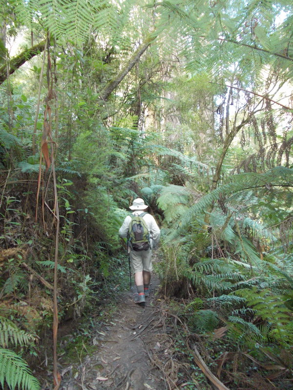
Start and finish at the Sheoak Picnic Area on the Garvey Track, which is a park management track. Follow the Kalimna Falls sign at the east end of the picnic ground.  The Kalimna Falls track crosses the Garvey Track and then you can follow either of the two tracks along either side of Sheoak Creek to the Lower Kalimna Falls (2.9km) and the Upper Kalimna Falls (4.1km), then back track to a link track, which takes you across Little Sheoak Creek back to the Garvey Track.  Then, walk 1.2km east-north-east along The Garvey Track to the Cumberland River turn off.

The path to the Cumberland River is 1.5km and steep at the river end of the track.  At the river, turn right following the track along the Cumberland River about 400m to the falls.  There is a river crossing before reaching the falls.  Then retrace your steps back to the Garvey Track and continue down the track back to the start.  There is an alternative route back to the picnic area on the Castle Rock access track. 

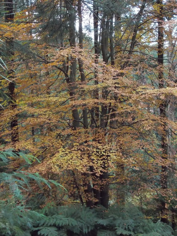
The start                             Lower Kalimna Falls

Upper Kalimna Falls                                Sheoak Creek

 
Cumberland River Track & Falls
 
GPS route on GE
and
(Lorne Waterfalls - Walk Three)


(Lorne Waterfalls - Walk One)

14 December 2014

Lorne Waterfalls - Walk Two

Henderson Falls, The Canyon, Phantom Falls, and Won Wondah Falls 

Length: 8.15km,  Time: 3hours+,  Type: Return
Grade:  Easy
Maximum elevation:  202m

Start and finish at the Sheoak Picnic Area, which is located at Allenvale Road end, southwest of Lorne.  Follow the signposts to Henderson Falls, then return to the turn off to The Canyon and Phantom Falls.  On the return journey from Phantom Falls, the Won Wondah Falls can be viewed from a viewing platform, which is on a short side track off the main track back to the start.

                                    Henderson Falls
  
Wildflowers

                             The Canyon and Phantom Falls                                

Route on GE, and
A 4 minute video YouTube of Lorne Waterfalls - Walk Two 

 Back to  Erskine & Cora Lynn Valleys Circuit
(Lorne Waterfalls - Walk One)
(Lorne Waterfalls - Walk Three)

20 October 2013

Moonlight Circuit

The Moonlight Track at Mt Worth is located at the western end of the Strzelecki Ranges and 125km southeast of Melbourne with the access via Princes Fwy (M1) to the closest towns namely Warragul and Darrum, which is about 15km north of Mt Worth State Park.  On leaving the freeway, follow the parks signpost and take the Darrum – Allambee Road for over 10km until reaching McDonalds Trak.  Turn left here and continue 1km to reach the turn off at Allambee Estate Road then further 2km on the gravel road to Moonlight Creek Visitor Area with an information board, toilets, tables and a shelter, which is useful if raining. It takes about 1½ hours.  Roads are narrow and winding, so take care.

A slightly less challenging drive to reach the park is to go to Leongatha and then take the Strzlecki Highway to the Grand Ridge Road and then take McDonals Track.


At the visitor area there are two walking track signposts.  The Moonlight Circuit is 8.5 km, 3 hours return, and the Giant’s & Gardiners Mill Circuit is 3.3km, 40 minutes.

After lunch we set off for the Moonlight Circuit and we did it in a clock-wise direction: Moonlight Divide Track – Moonlight Link Track – Moonlight Creek Track.

 A shelter at Moonlight Creek Visitor Area

The Moonlight Divide Track starts with a rather steep climb to the ridge.  We met two walkers, who had started about 10 minutes before us and were having a rest.

Tracks junction

The Moonlight Divide Track is a rather uneventful roller-coaster of a walk along a wide fire trail so it is very easy to follow.  Towards the end of the Divide Track, there is a left turnoff to a ribbon-marked link track to the Giant’s Circuit and Gardiners Mill Track, which we explored for about half a kilometre before turning back to the Divide Track.   

The Moonlight Link Track is well marked and easily found.  This fire trail takes you downhill to the Moonlight Creek Track junction where you turn right to go along the Moonlight Creek.

 Fern gullies

The Moonlight Creek Track

About 1 km down the Creek Track is a beautiful waterfall on a short detour to the left.

 Moonlight Creek Waterfalls

The whole track us bordered by tree-ferns which, on the day, were sprouting beautiful green shoots.  There are also several marked wood mill sites and several sitting benches with great views of the ferns trees and creek.  


 Great views from Maslins Mill Site

The track takes you back to the Moonlight Creek Visitor Area.

Maps 

GPS track on OSM-AU-Vic-10m (desktop view)

GPS Track on Garmin Topo v3

GPS- gpx file of Track overlaid on memory-map VIC Maps Topo.

11 May 2013

Maple Watch

Allan and I went back (see the Autumn Colour Trees blog)  for the last chance to view maple trees at their best in Autumn.  Strong wind and heavy rain forecast means that there won't be many leaves left on the trees.


28 April 2013

Autumn Colour Trees

Revisit The Dandenongs at the end of April and the maple trees are on show.